
Features:
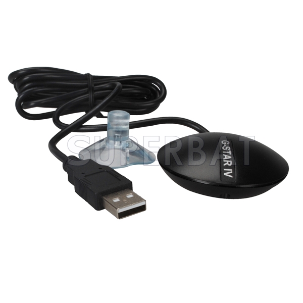
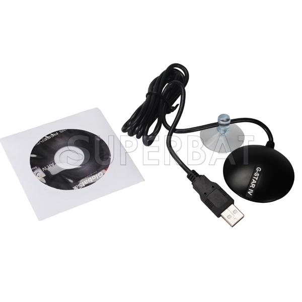
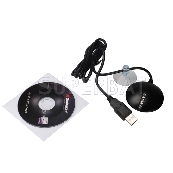
The BU-353 GPS Receiver can be utilized in a variety of applications which require GPS signals to be received in your Windows laptop or tablet PC, and for Mac users, their iBooks or Powerbooks. Compatible with most all NMEA compliant third-party software.
· The BU-353 is suitable for use in vehicle, marine and aviation navigation, as well as commercial and municipality applications such as fire trucks, police cars, buses, GIS data collection and much more!
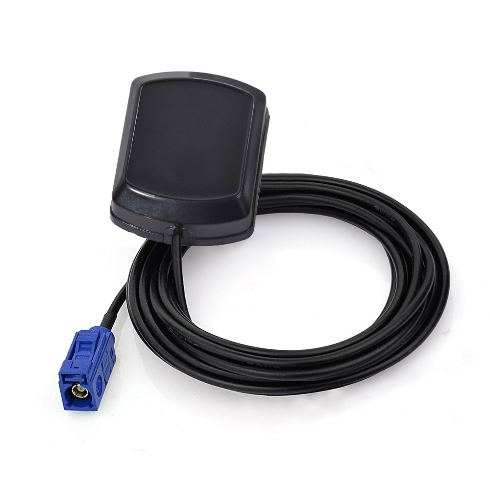
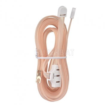
· The BU-353’s slim profile housing is completely water resistant and incorporates an active patch antenna for the highest level of GPS accuracy. With a 60” cable, placement of the GPS receiver anywhere within the vehicle will usually get sufficient GPS signal reception.
· The BU-353 is no need for batteries or any other external power source, since power and data are transferred through the same USB cable from the BU-353.
· Globalsat USB GPS receivers allow for real-time street navigation by using your laptop for graphical plotting and positioning of your route. Simply load the GPS driver, plug the GPS receiver into your computer’s USB port and install your own personal mapping software to begin to view your position in real-time in relation to the surrounding streets in your travel area.
Specification:
Electrical Characteristics:
code.GPS Chipset SiRF Star IV e/LP
Frequency L1, 1575.42 MHZ
C/A Code 1.023 MHz chip rate
Channels 48 all-in-view tracking
Sensitivity -163 dBm
Accuracy:
Position Horizontal 5m 2D RMS WAAS enabled
10m 2D RMS WAAS disabled
Velocity 0.1m/sec 95% (SA off),
Time 1 micro-second synchronized to GPS time
WAAS Enabled for North America products (US GlobalSat, Inc)
Datum:
Datum WGS-84
Acquisition Rate:
Hot start 1 sec., average (with ephemeris and almanac valid)
Warm start 38 sec., average (with almanac but not ephemeris)
Cold start 42 sec., average (neither almanac nor ephemeris)
Reacquisition 0.1 sec. average (interruption recovery time)
Protocol:
GPS Protocol Default: NMEA 0183 (Secondary: SiRF binary)
GPS Output Data
SiRF binary >> position, velocity, altitude, status and control
Supports NMEA0183 V2.2 protocol, and supports command: GGA, GSA, GSV, RMC, VTG, GLL v2.2 (VTG and GLL are optional)
GPS transfer rate Software command setting (Default : 4800,n,8,1 for NMEA )
Dynamic Condition:
Acceleration Limit Less than 4g
Altitude Limit 18,000 meters (60,000 feet) max.
Velocity Limit 515 meters/sec. (1,000 knots) max.
Jerk Limit 20 m/sec**3
Temperature:
Operating -40°~ 85°C
Storage -40°~ 85°C
Humidity Up to 95% non-condensing
Power:
Voltage 4.5 ~ 6.5V DC Input
Current 80mA typical
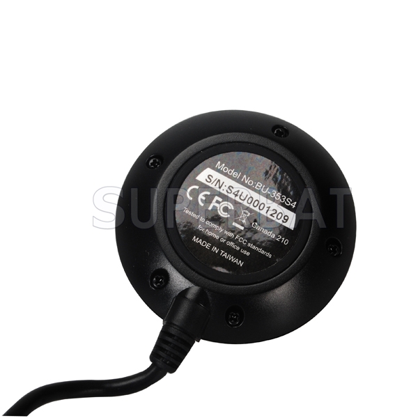
Physical Characteristics:
Dimension 2.08" diameter x 0.75" (53mm dia. x 19.2mm)
USB Cable Length 60" (152 cm)
Magnetic base
Water proof
Low Noise Amp:
Amplifier Gain w/out cable 27 dB Typical
Filtering -25dB (+100 MHz)
Output VSWR 2.0 Max.
Voltage DC 3 ~ 5.0V
Current 15mA max @ 5VDC


© Copyright 2018 Sperbat Da Corporation. All Rights Reserved

